Tornado watch issued for Saskatoon, funnel clouds reported near Warman
A tornado watch was issued for Saskatoon on Sunday afternoon, with city facilities preparing to close on short notice in the event of an outbreak of severe thunderstorms.
Just after 1 p.m. Environment Canada issued the alert. The federal weather service said a low pressure system was colliding with an unstable air mass, creating conditions for intense storms ranging from large hail, very strong gusting wind, torrential downpours and tornadoes.
“This is a dangerous and potentially life-threatening situation,” Environment Canada said in its alert.
“Storms will initiate by mid-late afternoon and track east-northeast. The tornado threat will gradually diminish after sunset and as the storms track into eastern Saskatchewan and into Manitoba tonight.”
In a news release Sunday afternoon, the City of Saskatoon said police, the fire department and city electrical workers were on standby monitoring conditions to deal with potential damage to infrastructure and localized flooding.
City facilities like the landfill, the Forestry Farm and Zoo, and civic centres have prepared to close if severe weather does break out, and transit service could also be affected.
“The city is advising residents to take immediate steps to ensure their safety and to stay informed,” the news release said.
In the event of a tornado, Environment Canada advises people to “take cover immediately.”
“Go indoors to a room on the lowest floor, away from outside walls and windows, such as a basement, bathroom, stairwell or interior closet. Leave mobile homes, vehicles, tents, trailers and other temporary or free-standing shelter, and move to a strong building if you can,” Environment Canada says.
“As a last resort, lie in a low spot and protect your head from flying debris.”
Tornado chasers on X shared photos of the storms and funnel clouds as they swept across the province on Sunday.
One account claimed a tornado touched down in the Borden area just after 5 p.m.
Around 6 p.m. Environment Canada issued a severe thunderstorm warning stretching from Corman Park to Rosthern, with a cluster of severe storms between Laird and Warman moving east at 35 kilometres per hour.
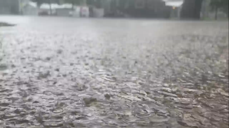
“Heavy downpours are likely to cause flash floods and water pooling on roads. Large hail can damage property and cause injury. Strong wind gusts can toss loose objects, damage weak buildings, break branches off trees and overturn large vehicles. Remember, severe thunderstorms can produce tornadoes.”
In a post on X, Shane Turgeon shared photos of a massive wall cloud lowering from the sky just northeast of Warman.
CTVNews.ca Top Stories

Watch Live Now: Canadian analysis ahead of the CNN Presidential Debate
U.S. President Joe Biden and former president Donald Trump are set to go head-to-head tonight in the first of two planned presidential debates. Here's how to watch the CNN Presidential Debate, Power Play's pre- and post-debate specials, and follow along in our real-time CTVNews.ca live expert analysis and commentary by debate and body-language experts.
'Hanging on for her life': Sask. family desperate to bring home sick niece from Philippines
For half a decade, a Saskatoon family has been trying to bring their orphaned niece to Canada, they say now it’s a matter of life or death.
'No additional flights will be cancelled': WestJet avoids strike as feds order binding arbitration
A potential strike by WestJet airplane mechanics would upend travel plans for 250,000 customers over the Canada Day long weekend, the airline says — and cost it millions of dollars.
BREAKING Nunavut judge sentences Toronto woman to 3 years prison for Inuit identity fraud
A Nunavut judge has sentenced a Toronto woman to three years in prison in a case of Inuit identity fraud.
Canada's top court rejects appeal from Sask. man who murdered wife
The Supreme Court of Canada has rejected an application from a Saskatoon man who murdered his wife.
Where do new Canadians come from? India and Philippines take top spots
Canada has welcomed more than 3.9 million new citizens since 2005, with nearly one third coming from India, the Philippines or China, according to a CTVNews.ca analysis.
Marilyn Monroe's former Los Angeles home declared a historic monument to save it from demolition
Fans of Marilyn Monroe have won a battle to preserve her mark on Los Angeles and are a step closer to seeing a towering statue of the silver screen icon remain in Palm Springs.
Man charged with threatening to kill presidential candidates found dead as jury was deciding verdict
A New Hampshire man charged with threatening the lives of presidential candidates last year has been found dead while a jury was deciding his verdict, according to court filings Thursday.
AI regulation 'a start,' needs to 'have teeth': Hinton, godfather of AI, says
So-called godfather of AI Geoffrey Hinton says he's 'pleased' governments are starting to take artificial intelligence, and the possible regulations of it, seriously.


