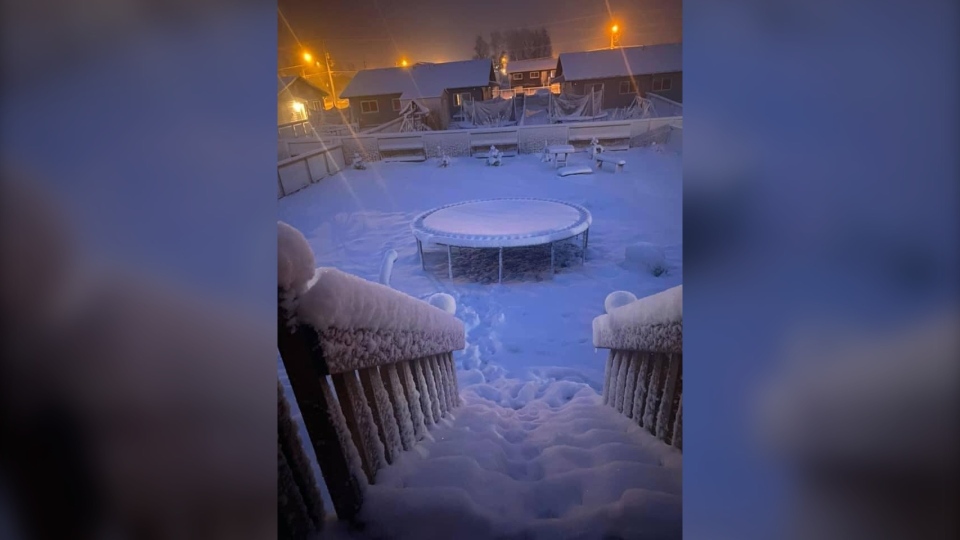
SASKATOON -- A late spring snowfall blanketed parts of northern Saskatchewan – and meteorologists say more is to come as cold and warm weather collide.
Environment and Climate Change Canada meteorologist Terri Lang said the record-breaking temperatures being experienced in the southern parts of the province have a hand in the snow seen up north.
“Winds come up from the south, ahead of the storm across southern Saskatchewan. When the winds are coming from the north it is sucking down the really cold air from the north, so the clash of those two can really make for the really high snowfall amounts we did see,” said Lang.
Cree Lake, Key Lake, Wollaston Lake and Collins Bay are all under winter storm warnings with predicted snowfall totals between 20 and 40 centimetres and icy conditions.
Fond-du-Lac and Stony Rapids are under a snowfall warning and could see 10 to 20 centimetres of snow.
According to Lang, snowfall this time of year can be more dangerous than in the winter, as trees start to grow leaves and branches become easier to break under the pressure of wet snow.
Lang said they use what is called the “jet stream” as an indicator for what to expect for weather, but this year it is all over the place.
“If the jet stream is sort of to the north of us we know we’re going to be in the warmth, and if it is well to the south we know we’re going to be in the cold air, and that thing wobbles along,” Lang said.
“When we get really big wobbles that’s when we get the big changes we see. Really warm air and really cold air, it’s just been extra wobbly this year.”
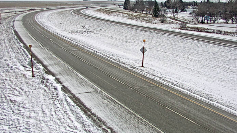
According to Lang, southwestern Saskatchewan could be seeing heavy snow on Thursday and Friday. Central Saskatchewan could experience frost over the long weekend.
“I would say it’s been a spring of extremes. We’ve seen really warm temperatures, cold temperatures, and now we’re seeing this late spring snow. It’s been a really unusual spring that way.”
